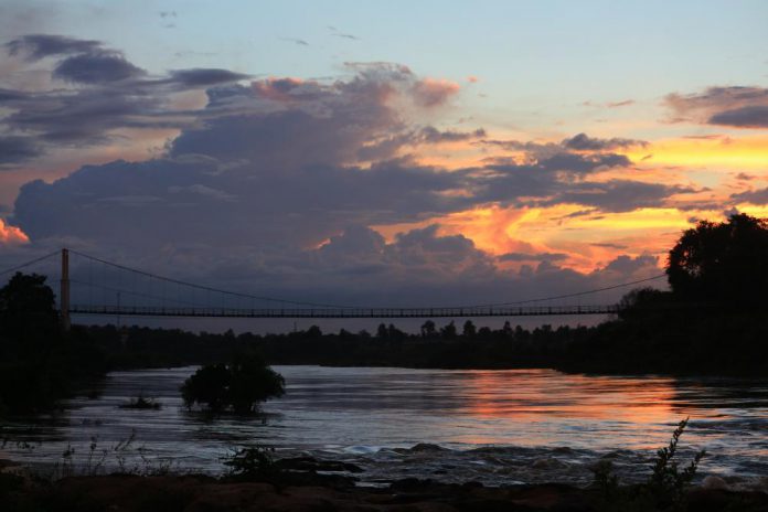
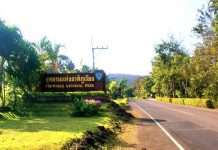
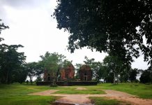
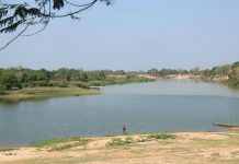
อุทยานแห่งชาติแก่งตะนะ สภาพทั่วไปเป็นที่ราบและเนินเขาเตี้ยๆ โดยมียอดเขาบรรทัดเป็นจุดสูงสุด ความสูงประมาณ 543 เมตรจากระดับน้ำทะเลปานกลาง มีแม่น้ำมูลและแม่น้ำโขงไหลผ่านตามแนวเขตทางด้านทิศเหนือไปออกประเทศลาว บริเวณแก่งตะนะจะมีสายน้ำที่เชี่ยวและลึก อีกทั้งยังมีถ้ำใต้น้ำหลายแห่ง จึงทำให้มีปลาอาศัยอยู่ชุกชุม ตรงกลางมีโขดหินขนาดใหญ่เป็นเกาะกลาง
คำว่า “ตะนะ” จากการเล่าขานตามความเชื่อของชาวบ้านและประชาชนทั่วไป เดิมมาจากคำว่า “มรณะ” เนื่องจากบริเวณแก่งตะนะนี้มีกระแสน้ำไหลที่เชี่ยวกราก และมีโขดหินใหญ่น้อยอยู่ทั่วไป ตลอดจนมีถ้ำใต้น้ำอยู่หลายแห่ง ชาวบ้านที่สัญจรทางน้ำหรือออกจับปลา มักประสบอุบัติเหตุเสียชีวิตอยู่เป็นประจำ ชาวบ้านจึงเรียกแก่งนี้ว่า “แก่งมรณะ” ตามแรงบันดาลจากสภาพของสายน้ำที่ไหลผ่านแก่งนี้ ซึ่งต่อมาเรียกว่า “แก่งตะนะ” จึงตั้งเป็นชื่ออุทยานแห่งชาติ
ที่อยู่ อุทยานแห่งชาติแก่งตะนะ ต.คำเขื่อนแก้ว อ.สิรินธร จ.อุบลราชธานี 34220
เบอร์ติดต่อ 045-252722-3
Kaeng Tana National Park The general condition is plain and low hills. With the top of Khao Line is the highest point The height is about 543 meters above sea level. There are Mun and Mekong rivers flowing along the northern boundary to Laos. Kaeng Tana area has a turbulent and deep river. There are also many underwater caves. Resulting in abundant living fish There is a large rock in the middle of the island.
The word “Tana” is told by the beliefs of the villagers and the general public Originally from the word “death” because this Kaeng Tana area has a strong current flowing And there are small and large rocks everywhere As well as there are many underwater caves Villagers who travel by water or go fishing Often has frequent accidents and deaths. The villagers therefore called this rapids “Deadly Kaeng” following the inspiration from the state of the water flowing through this rapids Which was later called “Kaeng Tana” so it was named National Park.
Address Kaeng Tana National Park Kam Khuean Kaew Sub-district, Sirindhorn District, Ubon Ratchathani Province 34220
Contact number 045-252722-3

